It is taking me way longer than expected to update the blog for this trip. My crazy summer schedule combined with the large number of photos is slowing me down. Hopefully these posts will get more frequent, or I’ll be writing until December.
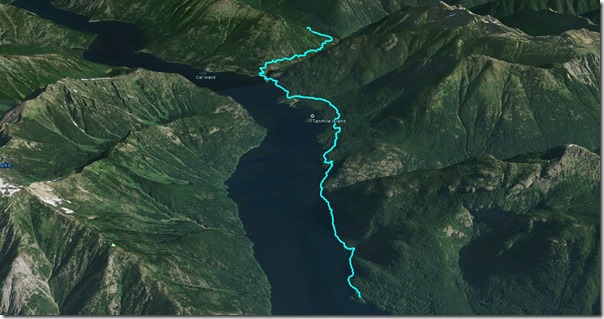
Day #3 of our trip takes us from the Deerlick Backcountry Stock Camp to the Rainbow Point Backcountry/Boat Camp – a total of 11.5 miles with 1600’ of elevation gain. The gps file for the route can be found here.
I also did a Google Earth screenshot of the route.
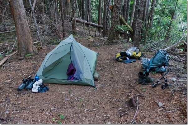
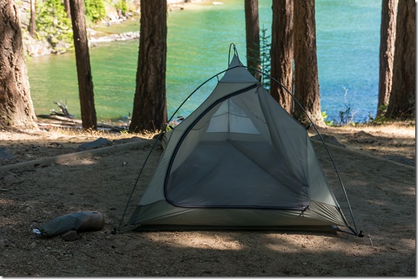
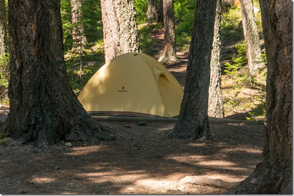
In my last post, I said that I did not get any pictures of our campsite at Deerlick. Well, it turns out I did, I just didn’t take one until the next morning.
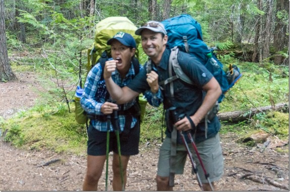
We knew that today was going to be a long day, so we were up early and ready to hit the trail. I did not heat up water for breakfast, just had a couple of Clif Bars so we could get on our way. Michelle and Trent were up and ready to go!
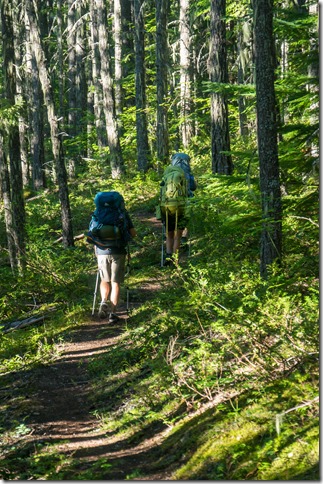
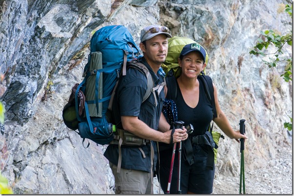
As we started out, we were a bit demoralized from the first day. Kim had big blisters on one of her feet, Michelle’s hips were severely bruised from her pack, and the trail was pretty boring.
At least today didn’t start with an uphill! We went down for the first half mile or so and crossed Lightning Creek. At the bridge, there was a small cabin that wasn’t marked. I couldn’t tell if it was a backcountry ranger shelter or an old artifact. Unfortunately, the pictures I took from this section did not turn out, and I forgot to ask the ranger when I returned our bear canisters after the trip.
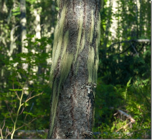
From the creek, we started uphill again and climbed along the southeast side of Desolation Peak (6080’). The trail through this section was still in a dense wooded area. We did see some cool moss growing on the trees.
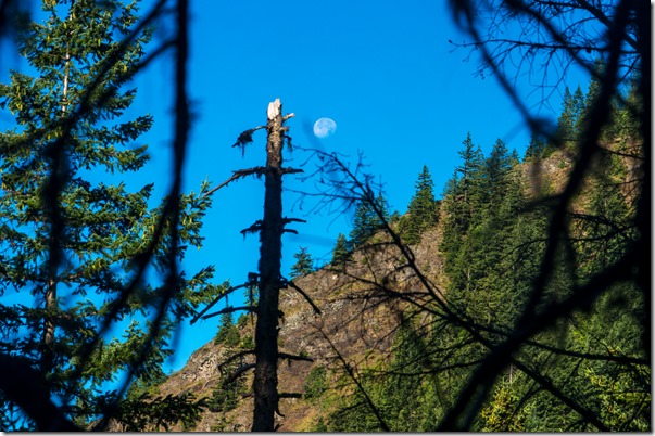
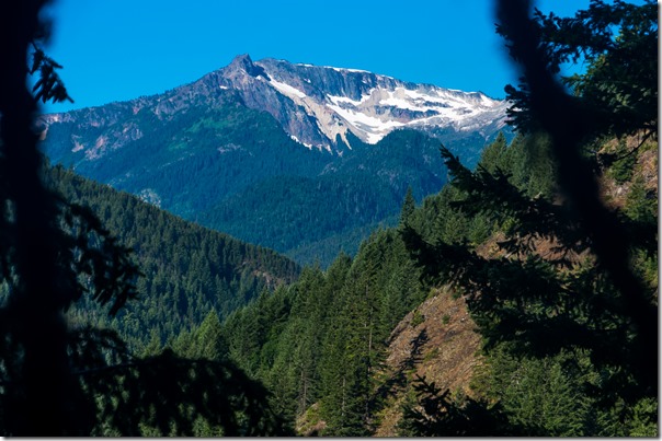
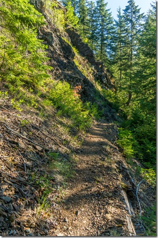
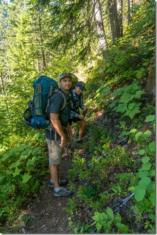
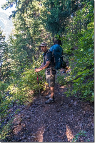
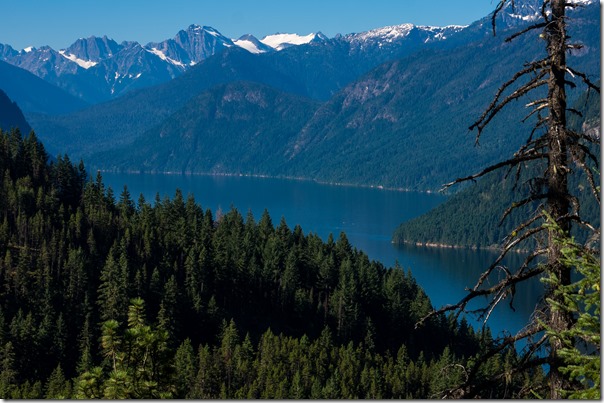
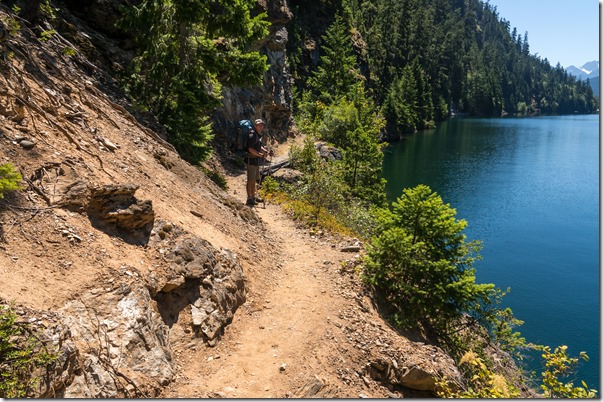
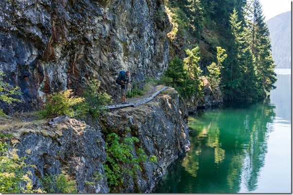
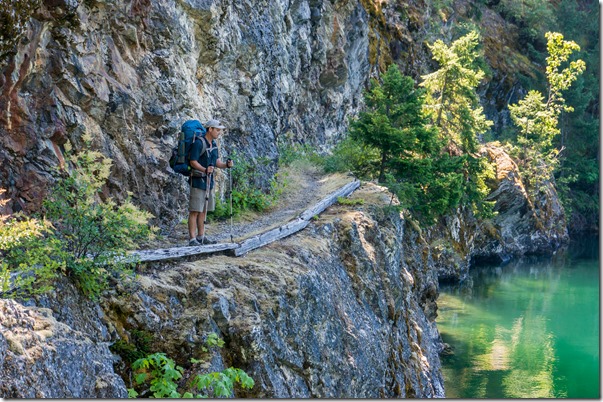
As we started to come around to the south side of Desolation Peak, the trail started to get more interesting as it moved along a steep hillside, almost cliff-like at times. This also allowed the view to open up a bit, and we could see more of the awesome beauty of this park.
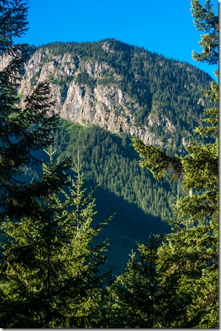
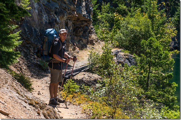
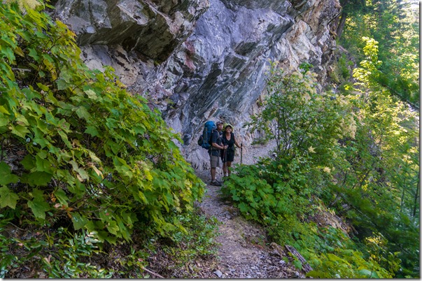
Some pictures of the trail along the hillside.
Eventually, we made our way around Desolation Peak and the lake came back into view.
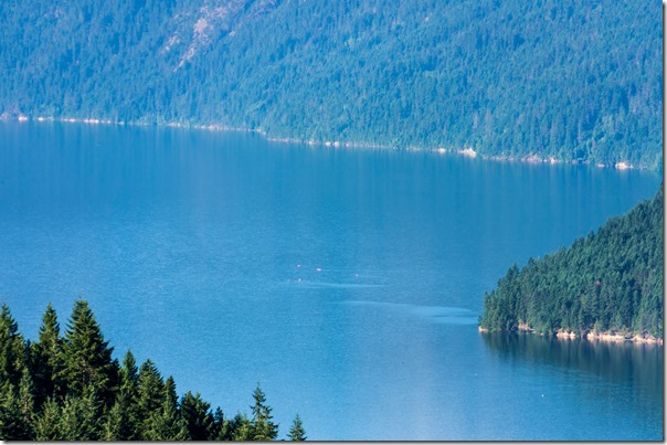
You could even see a few kayakers out on the lake.
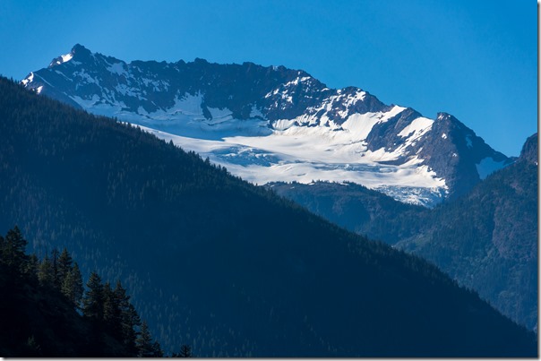
A big view of a glacier.
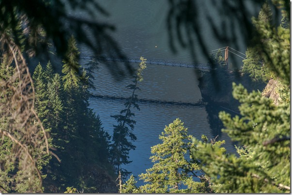
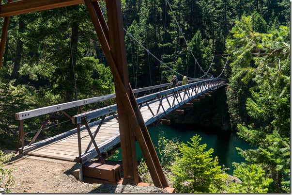
As we approached the lake, we could see the suspension bridge across lightning creek.
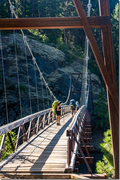
Then we gave up all of the elevation that we had gained, bringing us back down to the lake. Immediately thereafter, we walked across the suspension bridge.
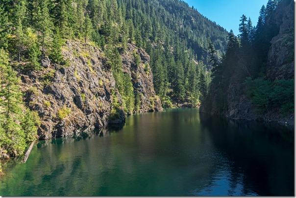
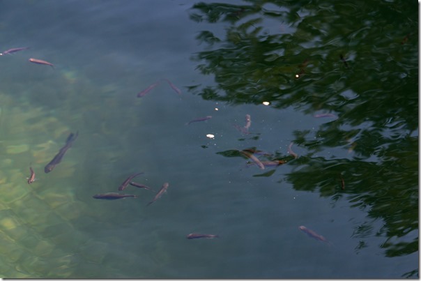
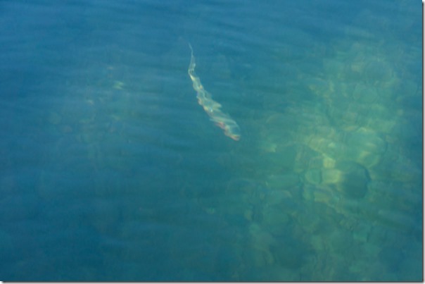
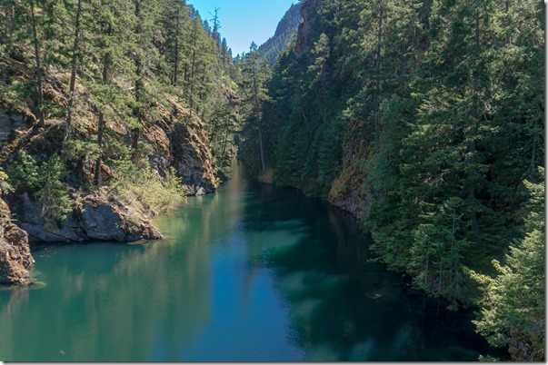
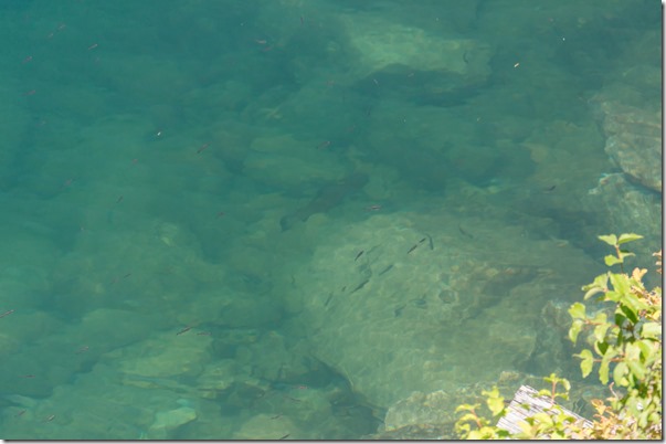
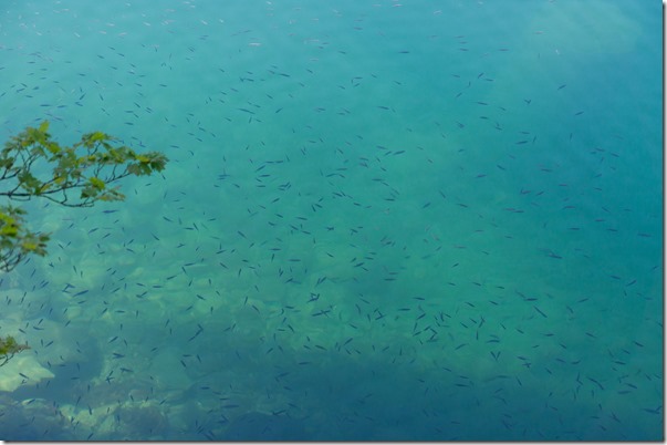
The view up Lightning Creek was spectacular. It would be so much fun to be up here in a Kayak or Canoe to explore. The water was super clear and there were fish everywhere!
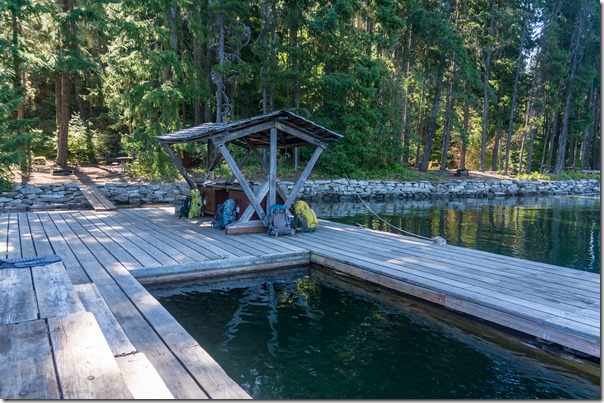
After the suspension bridge we stopped at the Lightning Creek Stock Camp for lunch. There was a big dock with a picnic table and a fish cleaning station. Since we didn’t really enjoy the first day of hiking, we decided that this would be a better place to start.
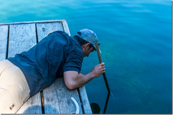
As I mentioned above, there were a ton of fish around! They were thick along the shore the entire hike.
Trent decided to try to get some spear fishing in…
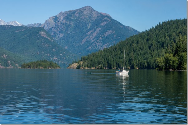
While we ate lunch a small sailboat came in to check things out. There was a guy and three kids on board. We were fortunate that they stopped by as we tried to forget our map on the table when we left, and they caught us before we were on the trail again.
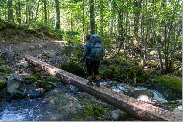
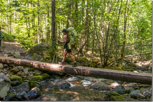
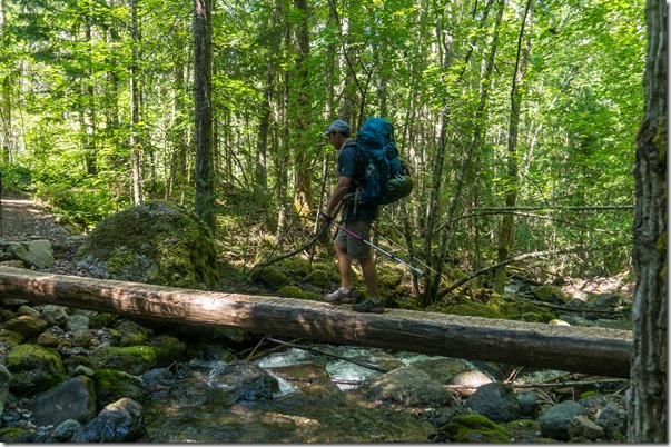
The trail moved away from the lake again, and we came to the most treacherous stream crossing of the trip – a log with no hand rail!
The trail came down to the lake again, and we crossed another suspension bridge at Devils Creek.
The estuary for Devils Creek looked like another cool kayaking area.
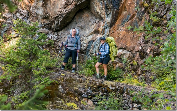
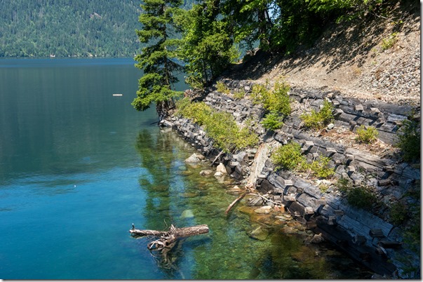
From here, the trail followed along the edge of the lake, often times carved out of a cliff. I found this section of the trail to be the highlight of the day (and it was a pretty awesome day to this point).
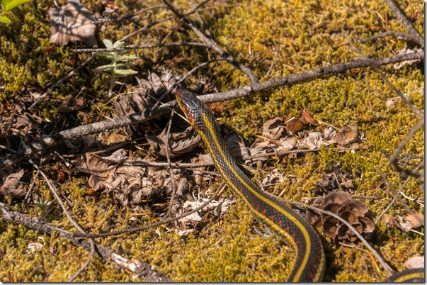
We also encountered some more wildlife while along one of the more narrow sections.
The reason I mention that it was one of the narrow sections – the girls were in front and kinda freaked out about the little snake. I made my way past them to take a picture, and to let them know that it was not going to hurt them. As I walked by, Kim tried to push me over the edge into the water…
There was also a very large frog/toad in the water but I didn’t get a picture. The fish continued to be thick along this section – and quite distracting, I almost walked over the edge because I was too busy looking at the fish.
Well, 11.5 miles makes for a long day, particularly for the women who were nursing injuries from the previous day. But we did eventually make it to our camp at Rainbow Point. There were three sites at the camp, and the one nearest the docks was already occupied. We picked the middle camp as it had views of the lake in two directions. The camp itself was not that private, but even when the third site was taken, you really didn’t notice the other people. This site also had a picnic table and a bear box, which made it kinda nice.
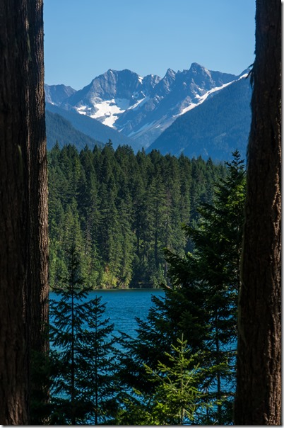
Nice mountain view to the south.
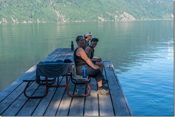
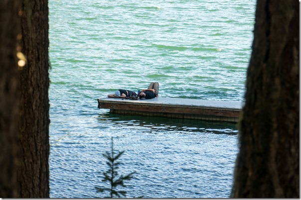
Trent and Michelle relaxing on the dock.
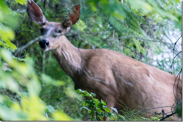
We had a deer sneaking through camp right before dinner…this was the best picture.
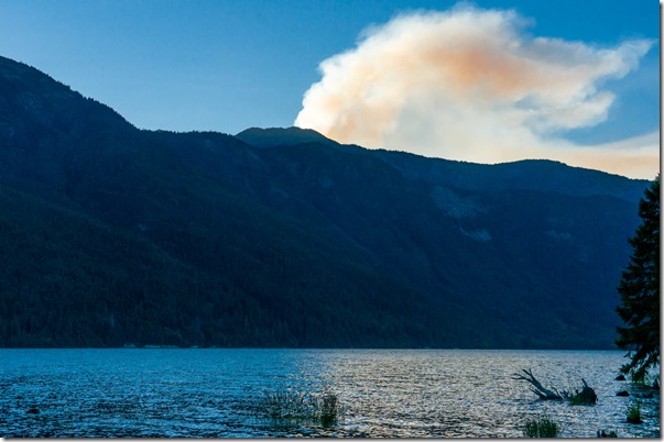
after dinner Michelle went down to the lake on the north side of the point, and saw a fire in the distance. Later I found out that this was caused by a lightning strike in a very remote area of the park.
Today proved to be another tough day. The hiking was much more interesting than our first day, but the bugs, bruises, and blisters had taken their toll. As a group, we decided to stop when we reached Highway 20. My Dad was planning to resupply us for the second half of the trip, so I coordinated with him over an InReach SE (I was testing it for him on this trip) to make sure he brought his truck to bail us out instead.
We all went to bed that night knowing that tomorrow would be our last day on the trail, but not the last day of our epic adventure…
North Cascades Backpacking Trip Day #1
North Cascades Backpacking Trip Day #2
You got some really great photos in there!
Unfortunately there is a lot of lightroom tweaking going on…
Read up on any of the pros and ALL of them tweak a ton in LR & PS. I have a book you should read that will help you even more (if you are interested). Not sure if it was my monitor, but some a few of your images looked a tiny bit washed out in the shadows and that is a 2-second fix 🙂
Yeah, I brought up the shadows too much in a couple of them…been going through SOOO many pictures that it is tough to take the time to be perfect on all of them.
Gorgeous photos! I love the glacial silt coloring the water.
I’ve been kayaking on Ross Lake, I’ve always wanted to do a backcountry camping trip by kayak, and to do backpack trips to the tops of Desolation and Sourdough for the views. I guess it’s a good problem to have, that we have so many gorgeous places here, but the same thing means I haven’t done any of these yet… Would you do Desolation again?
We didn’t go to the top of Desolation – the view pictures from the trail are from the Lightning Creek trail, which goes along the south side of Desolation. The Desolation trail goes up significantly higher, and I imagine the views are spectacular – if you can see through the trees 🙂
It would be very cool to spend a week or so bumming around in a Kayak, visiting all of the boat-in only campgrounds, and exploring along where the larger streams come in…might even try some fishing, although I don’t know that I want to smell like a fish in bear country 🙂
Great story and pictures. Thank you for sharing.
Sure thing – thanks for taking the time to read it!